
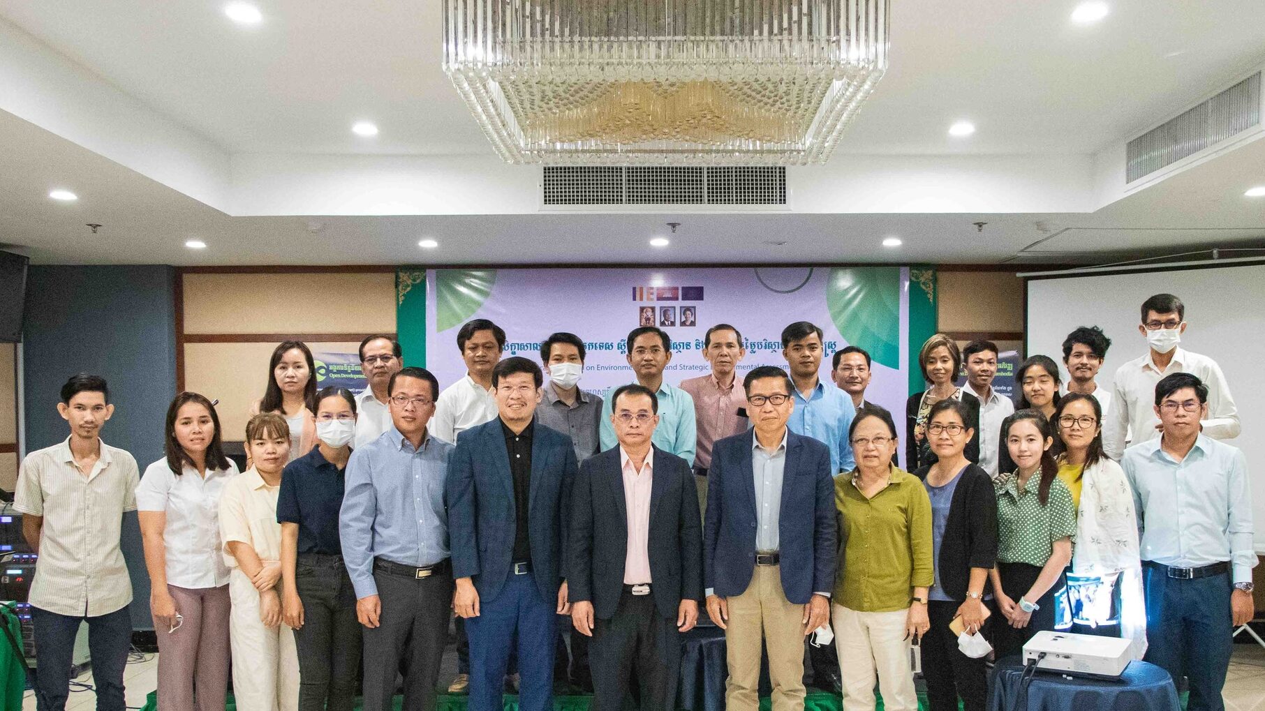
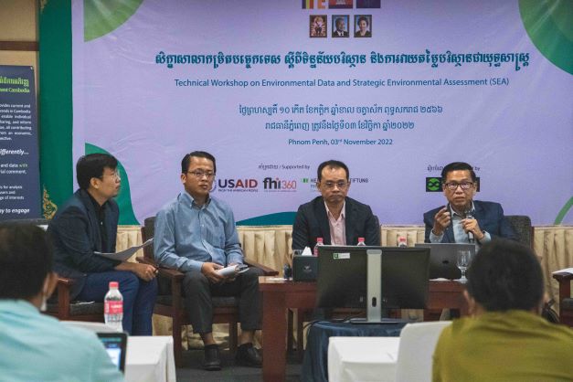
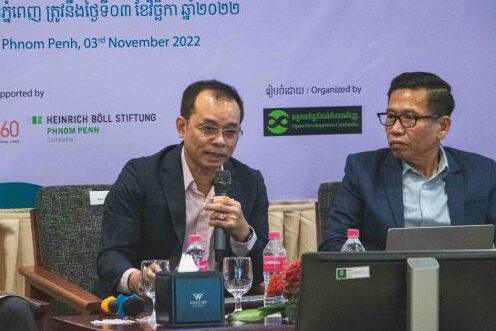
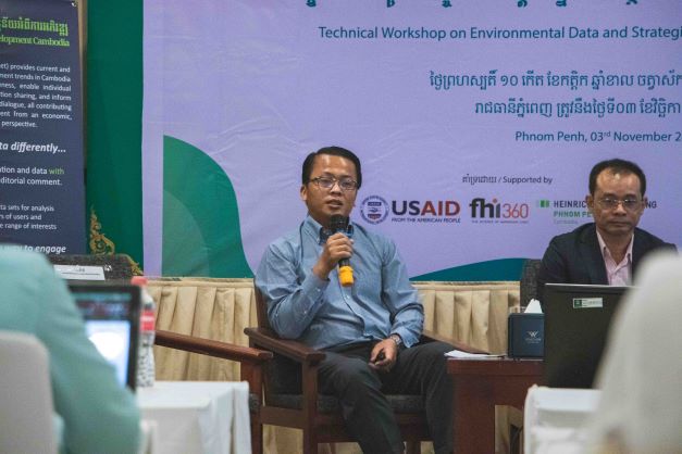
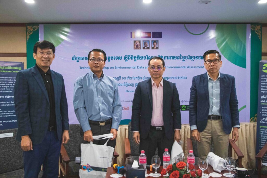
Phnom Penh, 03rd November 2022, Open Development Cambodia (ODC) hosted a Technical Workshop on Environmental Data and Strategic Environmental Assessment (SEA). This workshop was supported by the United States Agency for International Development (USAID) through Family Health International (FHI 360) under Cluster Anchor Grant from the Civil Society Support (CSS) Project and Heinrich Böll Stiftung (HBS) under Promoting Environmental Impact Assessment (EIA) for a more Transparent and Responsive Environmental Governance in Cambodia Project. The workshop aims to:
- Raise awareness of the SEA among CSOs, citizen journalists, indigenous people, and researchers.
- Discuss and share the current statue of the SEA in Cambodia
- Identify the potential of integrating SEA and its implication in environmental and natural resource management.
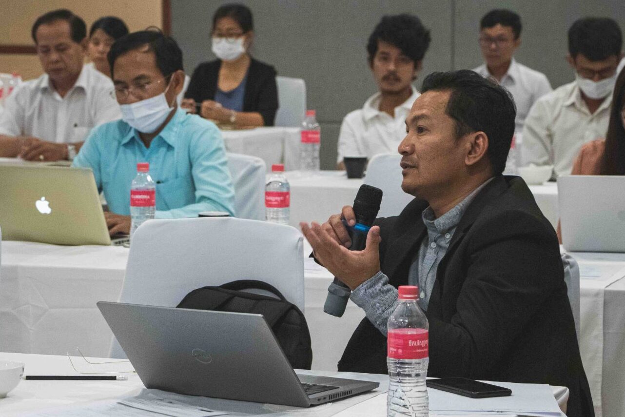
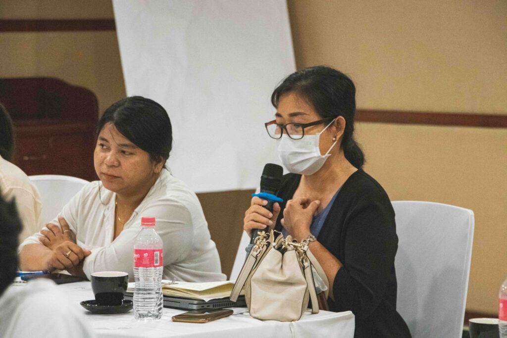
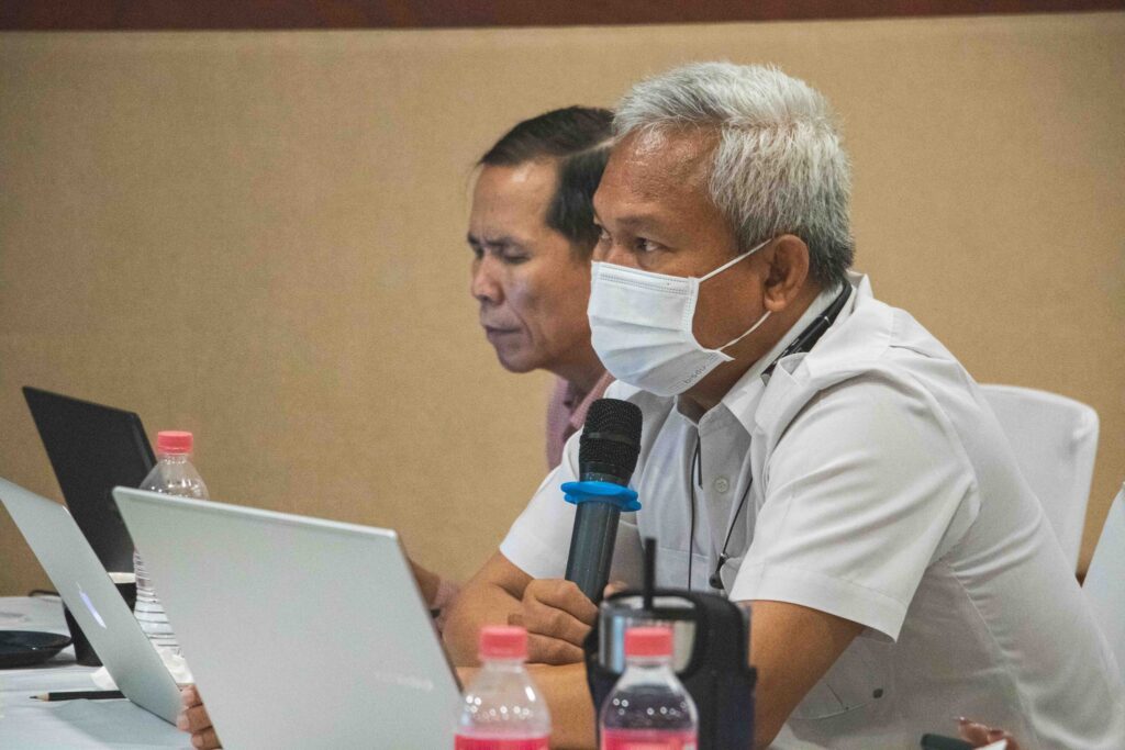
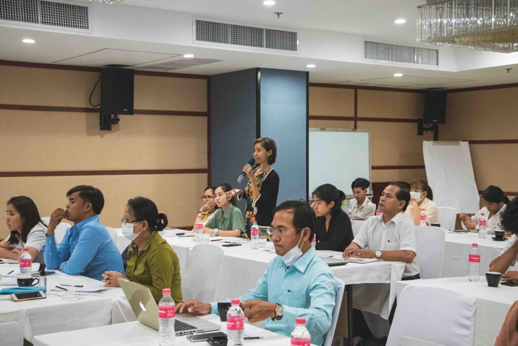
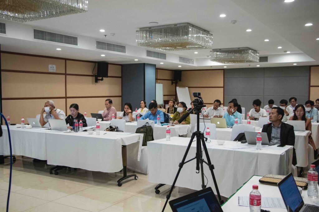
The event brought together 32 participants (11 females) from the Ministry of Planning (MoP), World Wide Fund for Nature (WWF), Wildlife Conservation Society (WCS), Family Health International (FHI 360), other international and local non-governmental organizations (NGOs), community-based organizations (CBOs), journalists, researchers, and indigenous peoples (IPs).
Environmental Impact Assessment (EIA) and Strategic Environmental Assessment (SEA)
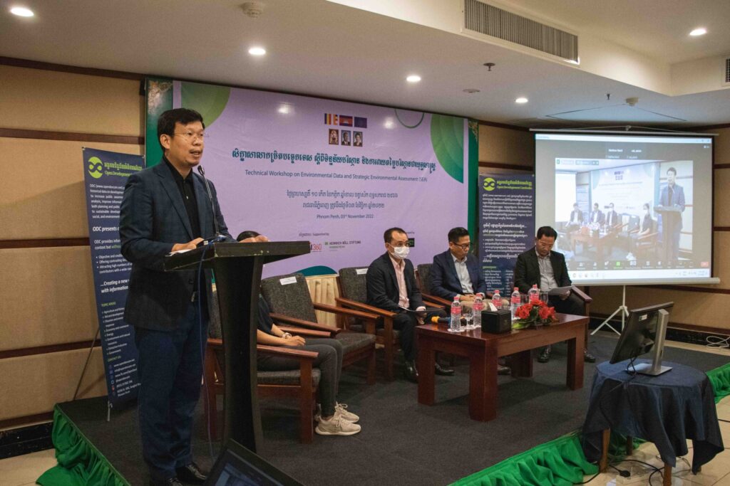
Mr. THY Try, Executive Director/Editor-in-Chief of Open Development Cambodia, and Mr. MATHEW Baird, Director of the Asian Research Institute for Environmental Law, have highlighted the differences between EIA and SEA as well as some procedures of SEA. Development projects typically promote economic development, but they should not neglect or ignore the impact on the environment and society. SEA incorporates environmental considerations into policies, plans, and programs (PPP). SEA is used to estimate and evaluate the consequences of specific development PPP. It means that the project is not there yet. The government will decide whether the project could be implemented or invested in that area. It usually happens before doing the EIA. In contrast to the commonly used EIA, which occurs after the decision-making process, SEA occurs before all important decisions, which offers significant advantages. It was initially promoted to fill gaps in project-based EIA due to the limitation of EIA to address the environmental policy integration at the strategic levels, particularly during policy and plan-making. The capacity of EIA to account for the strategic consequences of subsequent projects in a single area is limited. As a multi-stage process focusing on overall sustainability, SEA takes a proactive approach to all development activities, identifying key obstacles before final approval. Public participation is the key point, and it must be included in both SEA and EIA processes. EIA and SEA complement each other. It does not mean that we can ignore one of them.
Mr. THY Try also demonstrated a video about the UNECE SEA Protocol, which was created by the United Nations Economic Commission for Europe (UNECE) as part of the EU-funded program “Greening the Economies in the European Neighborhood.” The protocol establishes clear and transparent procedures for incorporating environmental and health concerns into national development plans, programs, and legislation.
Spatial Plan and its Integrated Landscape Approach
Mr. SENG Teak, Country Director of the World Wide Fund for Nature (WWF), presented one of the significant implementations called the “Mondulkiri Provincial Spatial Plan.” He highlighted the 2040 scenario-based analysis for the province divided into three scenarios: conservation, green economy, and business-as-usual. The first scenario, “conservation,” could keep the forest cover in Mondulkiri up to 85% by mainly protecting all forests inside and outside the protected areas (PA) and using non-forest areas for agricultural and development areas. The second scenario, “green economy,” only protects the forest in the PA, whereas the forest outside the PA and non-forest areas are used for agricultural development areas. By doing so, the forest cover in the provide will remind 53% by 2040. In the last scenario, “business-as-usual” will not enforce forest protection, and the forest cover will remain at only 34%. In brief, the second scenario is used for the spatial plan for Mondulkiri and will be adopted shortly.
The spatial plan is critical because it has the potential to provide effective development principles and tools for informed decision-making and spatial development processes to promote balanced territorial development. The planning could be done by following significant steps, including establishing a multi-stakeholder platform, building a shared understanding, collaborative planning, implementing, monitoring for adaptive management and accountability, and shaping the context.
The potential of SEA Integration and its Implication on Natural Resource Management
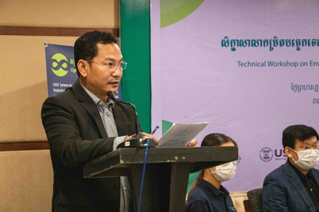
H.E. NOR Vanndy, Director of the Economic Statistics Department, National Institute of Statistics, Ministry of Planning (MoP), and Mr. TEP Sakmakara, Deputy Chief of Office of the Department of Economic Statistics, MoP, highlighted how the ministry addresses the environmental data and issues in the development plan.
Integration of environmental issues in the development plan is the initial stage, and the country should do it. Environmental issues are considered to include in long-term and medium-term development plans such as National Strategic Development Plan (NSDP) and Sector Development Plan. It was observed that the integration of the environmental issues in the previous NSDP (2014-2018) is less and not paid much attention. Therefore, the government has considered and added more environmental issues to the new NSDP (2019-2023). Chapter 4 (4.42) of the NSDP (2019-2023) “Promote the inclusion of strategic environmental assessments in the decision-making process, policies, plans, and legal documents to ensure the sustainability of the environment and natural resources.”
Other Stories
Land and natural resource governance
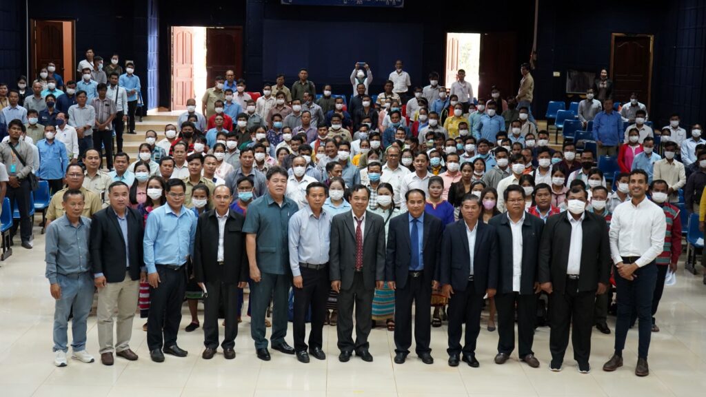
Open Development Cambodia (ODC) under the Civil Society Support Activity: Cluster Anchor Grants funded by United States Agency for International Development (USAID) through Family Health International (FHI 360) supported indigenous peoples to participate in the Conference on Land and Natural Resource Governance which was organized by the NGO Forum on Cambodia in Ratanakiri province on 12th - 13th October 2022. The conference aims to engage with the Royal Government of Cambodia to advance laws and policies related to land and natural resources and to strengthen the implementation of policies, laws, and regulations that are meant to promote land and natural resource governance with a focus on addressing social impacts and protecting natural resources and the environment, as well as the sustainable livelihoods of local communities. The event was divided into two phases, which began with gathering input from over a hundred local communities, indigenous communities, community protected areas, forestry communities, and local non-governmental organizations (NGOs). The inputs were used for the panel discussion with the representatives of Ratanakiri, Stung Treng, Kratie, Preah Vihear, Mondulkiri, and Kampong Thom Provincial Governors, Ministry of Interior (MoI), Provincial Departments of Agriculture, Forestry and Fisheries, Provincial Departments of Environment, Provincial Department of Land Management, Urban Planning, and Construction, Provincial Departments of Rural Development, Provincial Departments of Mines and Energy, and private sectors on the second day with a total of 250 people (60 females) participated. Land and natural resource governor in Ratanakiri province Economic land concession within the province is granted to 27 companies, of which 10 companies justified the contract, 06 companies are in the process of revising, and 11 companies have not signed the contracts. The business area is 83,785 hectares, with a total investment area of 181,896 hectares. The area that has been cleared is 56,702 hectares, and the cultivated area is 51,067 hectares. There are 75 indigenous communities recognized by the Ministry of Rural Development, while 85 communities have been recognized as legal entities by the Ministry of Interior. However, only 24 indigenous communities received communal land titles from the Ministry of Land Management, Urban Planning, and Construction. Systematic land registration achieved 15,691 titles which is equivalent to 10,741 families. Two villages have finished the public announcement, while a village is in progress. Two public announcements on the communal land titling are finished and requesting reclassification for three communities. There are 11 community-protected areas and 36 community forestry, of which 22 have been registered with the Ministry of Agriculture, Forestry and Fishery (MAFF). There are 14 community fisheries, and all of them have been recognized while two new communities have been established. Recognize and protect customary land tenure The community and civil society organizations have identified key challenges to recognizing and protecting customary land tenure. Land that has received the land title or is in processing is not yet secured, and the process is complicated, time-consuming, and costly. The approved land classification does not correspond to actual practice and occasionally overlaps with protected areas because management areas have not been clearly divided. Despite the fact that the land has been registered, indigenous peoples continue to face land grabbing and deforestation. According to the community, the forest crime crackdown is still limited and ineffective. The community committee's capacity and knowledge are limited and need to be expanded in terms of by-laws and internal rules, while the community's livelihood and natural resource conservation must be improved. To address the issues, the communities would like to see strong collaboration between communities and local authorities to strengthen law enforcement with the assistance of district and provincial administrations. The network of community forestry should be established from the national to the commune level. The process of titling communal land should be improved, and the government should provide an annual budget for each community to manage the land and forest while also improving their standard of living. The budget could be used as a community loan for each member. Yet, the results of the suggestions cannot be confirmed.
Inception workshop on Strategic Environmental Assessment (SEA) phase II: ODC shares experiences on SEA
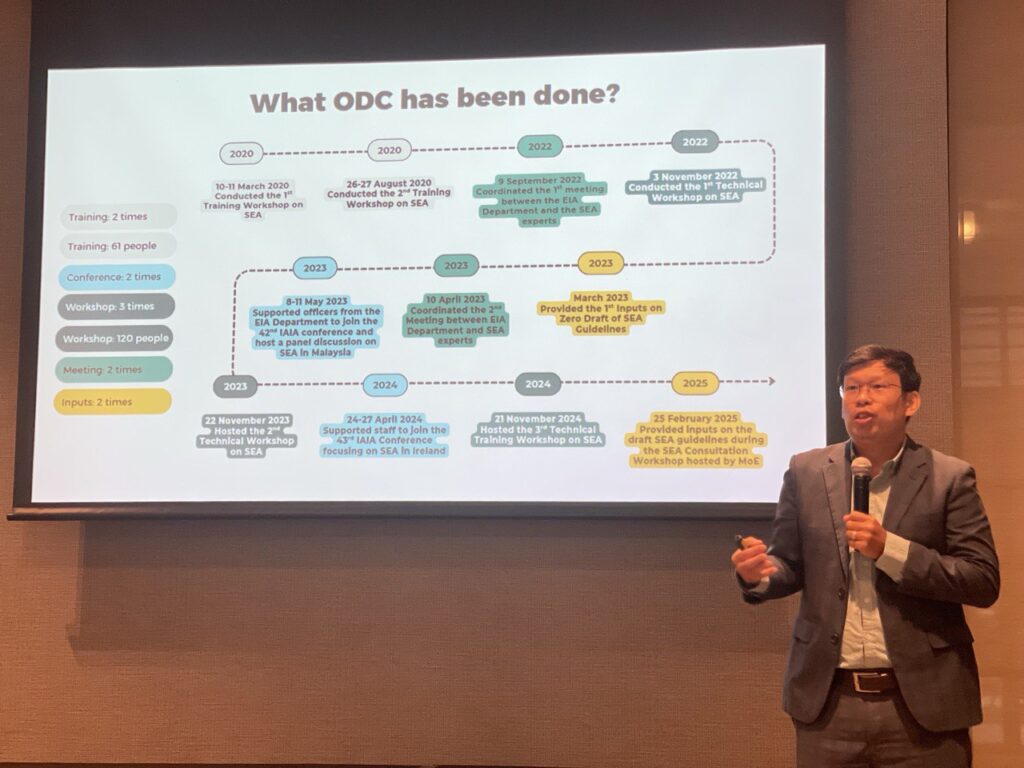
On 17 June 2025, Open Development Cambodia (ODC) participated and served as speakers at the Inception Workshop on Phase II of Strengthening the Strategic Environmental Assessment (SEA) Process through Capacity Development, a collaboration between the Ministry of Environment (MoE) and The Asia Foundation (TAF). The workshop was attended by approximately 40 participants from the Ministry of Environment (MoE), Ministry of Mines and Energy (MME), Ministry of Tourism (MoT), Ministry of Agriculture, Forestry and Fisheries (MAFF), Council for the Development of Cambodia (CDC), Ministry of Economy and Finance (MEF), Ministry of Public Works and Transport (MPWT), Ministry of Land Management, Urban Planning and Construction (MLMUPC), Ministry of Planning (MoP), Cambodia National Mekong River Committee (CNMC), Ministry of Water Resources and Meteorology (MoWRAM), Ministry of Posts and Telecommunications (MPTC), Global Green Growth Institute (GGGI), United Nations Development Programme (UNDP), World Wildlife Fund for Nature (WWF), and the Embassy of Australia. The workshop aims to (1) identify opportunities and challenges in implementing SEA in Cambodia, (2) brainstorm ideas related to the preparation of a sub-decree on SEA as stipulated in the 2023 Environment and Natural Resources (ENR) Code to support the implementation of SEA, and (3) expand capacity-building opportunities on SEA for national and sub-national officials. In 2025, MoE and TAF re-engaged to continue the SEA initiatives, beginning with a senior management meeting to discuss key issues and further advance the implementation of SEA in Cambodia. A priority task is to develop and promote the integration of SEA into policies, strategic plans, and action programs across relevant sectors. This effort aims to achieve sustainable development and support the implementation of the Pentagonal Strategy Phase I of the Royal Government of Cambodia of the Seventh Legislature of the National Assembly. SEA plays an important role in integrating environmental issues into the formulation of policies, strategic plans, and action programs in key sectors outlined in the code. H.E. Dr. Chuop Paris, Secretary of State of the MoE, presided over the opening of the workshop. On that occasion, H.E. emphasized that the implementation of the activities for the second phase is to strengthen broader cooperation on the preparation of documents for SEA covering the seven priority sectors as defined in the Nationally Determined Contributions 3.0 (NDC 3.0) document to ensure sustainable development, focusing on the three pillars: economy, society, and environment. The preparation of SEA is very important for relevant ministries and competent institutions to put forward their sectoral strategic plans to jointly achieve sustainable development and ensure a good environment that takes into account cleanliness. H.E. also emphasized that the workshop should consider preparing legal documents on SEA as stipulated in the ENR Code, such as sub-decrees or guidelines on SEA in each sector. It is also worth noting that the collaboration for Phase 1 has achieved positive results, including the completion of a study on the scope of SEA in Cambodia, capacity building for civil servants, and training of trainers in SEA. The workshop presented the current status of SEA in Cambodia, including the background of SEA in Cambodia, the latest developments, and the plans for 2025-2027. Currently, MoE is preparing the General Guidelines on SEA in Cambodia and the Guidelines on SEA for the Sand Mining Business in Cambodia. In 2025-2027, MoE will prepare a sub-decree on the SEA procedure, the SEA framework analysis, and the training of trainers (ToT). Mr. Thy Try, Executive Director and Editor-in-Chief of Open Development Cambodia (ODC), presented an overview of SEA as well as previous SEA reports. At the same time, he also presented the work that ODC has done about SEA in Cambodia, such as training, workshops, consultation meetings, conferences, and providing input to the SEA Guidelines. ODC has been working on SEA since 2020 until now. ODC collaborated with MoE and the Non-Timber Forest Products Exchange Programme (NTFP-EP Cambodia), supported by the Netherlands Committee for IUCN, to organize two training courses with approximately 61 participants from relevant departments and civil society. ODC also participated in two overseas conferences and discussions on SEA in the Mekong countries. To promote broader understanding, ODC organized three workshops with a total of 120 participants from relevant ministries, civil society, journalists, and indigenous communities, supported by Heinrich Böll Stiftung (HBS) Cambodia and FHI360-CSS. ODC coordinated with foreign experts to provide input to the draft General Guidelines on SEA in Cambodia and the Guidelines on SEA for the Sand Mining Business in Cambodia. It should be noted that ODC is also committed to collaborating and actively participating in activities related to SEA in Cambodia.
Civil society’s participation in the draft Land Law dialogue for land rights protection
The Cambodian government has drafted an entirely new Land Law (the draft law), more than 20 years after the promulgation of the 2001 Land Law. Acknowledging the importance of participation from civil society, local communities, and indigenous peoples (IPs), Open Development Cambodia (ODC) formally sought an opportunity to review the draft law and was able to provide constructive inputs based on dialogues with relevant stakeholders. In late January 2024, the Ministry of Land Management, Urban Planning and Construction (MLMUPC) drafted a comprehensive new Land Law, comprising seven titles, thirteen chapters, and a total of one hundred and ninety-nine articles. ODC formally submitted an official letter to the MLMUPC, requesting an opportunity to review and provide constructive inputs on the draft law. The MLMUPC approved the request and shared the draft law with ODC, providing a short window until 16 February 2024 for submitting inputs. Dialogues highlighting key issues such as the need to protect collective rights, in particular, the rights of Indigenous peoples ODC hosted two dialogues on the draft new Land Law – one on 13-14 February in Siem Reap Province and another on 15 February in Phnom Penh. The two dialogues were supported by the United States Agency for International Development (USAID) through Family Health International (FHI 360) under a Cluster Anchor Grant from the Civil Society Support (CSS) Project, ALIGN and LANDESA. During the first dialogue, a Cambodian legal expert presented an analysis of key articles of the draft Land Law to the participants. The participants then discussed and provided their inputs, concerns, and recommendations for the draft law. Representatives from Indigenous peoples’ (IP) communities who were present during the dialogue raised concerns about the limited time provided for comprehending the proposed legal amendments, conveying their understanding to the communities, and gathering inputs from their members. They felt that the dialogue was more of an informative session than a consultative one. As a result, representatives from the indigenous communities were unable to provide their input on the draft law and requested an extension of time for the consultation process. ODC and our partners sympathized with the response from the IP communities, as the timeline for the input was also a huge challenge for the team. The second dialogue was held on 15 February in Phnom Penh, to consolidate the inputs and recommendations derived from the first dialogue in Siem Reap Province. Following the dialogues, ODC and partners prepared and submitted the consolidated inputs and recommendations to the MLMUPC. The document is published on the ODC website, and is publicly accessible. The document highlights several key issues, such as the need to clarify the protection guarantees for collective ownership, right to use, right to enjoy the fruit of the land and rights related to land and other immovable properties of IPs and Buddhist monasteries. The input also requested further consideration towards gender equity and the protection of the rights of IPs and local communities. In early March, ODC attended a meeting hosted by the Land Law Working Group at the MLMUPC. According to the MLMUPC, more than 15 inputs from ODC were incorporated, including issues regarding the classification of public state land and private state land, the timeframe for the registration of communal land titles for IPs, promotion of equity in land rights and land administration, the specification of a timeframe for complaints, a filing process for complaints, and elaboration on the glossary. ODC and our partners shared concerns regarding the time window for the submission of input. The time window for translating the draft law into English and sharing it with our international legal experts, as well as holding dialogues, meant that the input document did not cover all the key points as thoroughly as it could have, if more time were given in the first round. After the input submission, ODC hosted additional discussions and meetings and collaborated with partner organizations to gather more inputs. On 11 March 2024, ODC hosted a knowledge sharing session on Women's Rights in Land Ownership and Natural Resource Management (NRM). Additionally, on 22 March 2024, ODC attended a meeting held by the Land Law Working Group of the MLMUPC to discuss the inputs that the working group has received so far. On 26 March 2024, ODC attended another workshop hosted by MLMUPC on the draft law. Then, on 26 April 2024, ODC and partner organizations supported a meeting organized by My Village (MVi) for consultation on the draft law, focusing on the process and challenges of indigenous communal land titling. According to a Ministry officer, MLMUPC will continue to review and incorporate inputs as appropriate and will share a further revised draft law with relevant stakeholders. Based on that advice, ODC and partner organizations continued to review and collect further inputs for the revised version of the draft law and submitted our second round of inputs on the revised draft law on 7 June 2024. On 19 June after submission of our inputs on the revised draft law, MLMUPC shared with ODC the latest version of the draft law. ODC observed that none of our second round of inputs were taken and incorporated in the latest draft. ODC and partner organizations wish to be given further opportunity for a more constructive and serious consultation with the MLMUPC to discuss our inputs point by point. The importance of national and international alliances to ensure an inclusive land law reform that protects the rights of all citizens The collaboration with ALIGN and LANDESA has enabled ODC to engage in consultations with national and international stakeholders on the land law reform process in Cambodia, aligning with relevant international standards and principles of responsible investment in land governance. By uniting all stakeholders, ODC tries to promote transparency and responsible investment in land in Cambodia. The inputs submitted by ODC amplify the voices of local communities to the government, an important factor for promoting sustainability and inclusivity in land rights for every Cambodian. While not all inputs and recommendations from ODC and our partners are expected to be taken by the government, the collaboration has sparked important discussions, particularly concerning land rights and land administration among underrepresented groups such as IPs, women, widowers, and LGBTQ+ individuals. Moving forward, ODC commits to continue working with partner organizations and stakeholders to discuss and explain our second round of inputs and provide more precise and complete suggested changes to the draft law to ensure that the new law is enabling, inclusive, equitable and effective, with minimized unintended negative impacts on vulnerable groups such as traditionally separated spouses, IPs and their communities, LGBTQ+ and unregistered land possessors, and avoiding regulatory or administrative taking of land and immovable property rights without fair and just compensation.